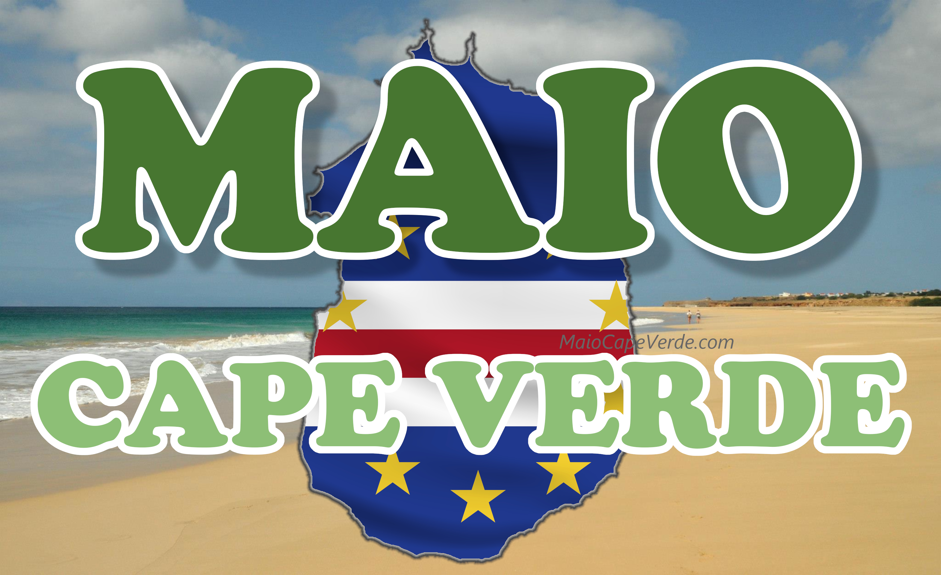
Cape Verde Pirates and Treasure Islands
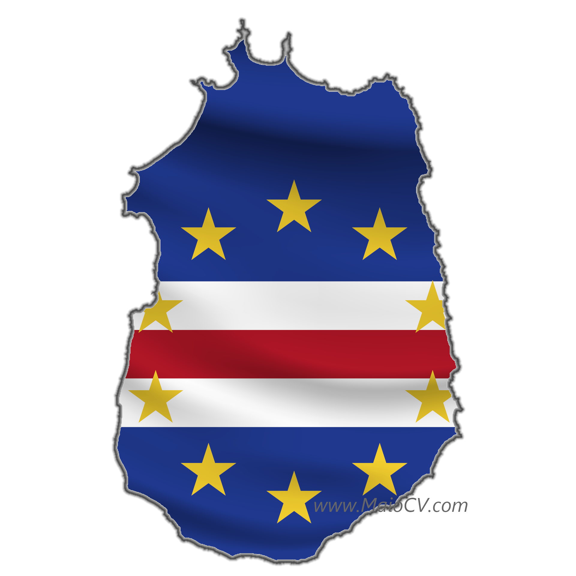
Captain Kidd, Francis Drake, Maio and Built a Fort
Ilha do Maio is the island where the enthusiasts seeks Captain Kidd's treasures, as not everyone agrees with the theory unbelievable treasures are hidden in Bahamas.
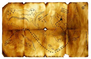
Captain Kidd created a map to his treasures. According to this map countless treasures are hidden in so called Skeleton Island. This name first appeared in 1935 when a book by H.T. Wilkins was published. However that book didn't help treasure hunters much and many of them started own research based on Kidd's maps.
Pirate's maps are encrypted and hard to understand, more than that they were created in 17th century when navigation differed much from what we use today.
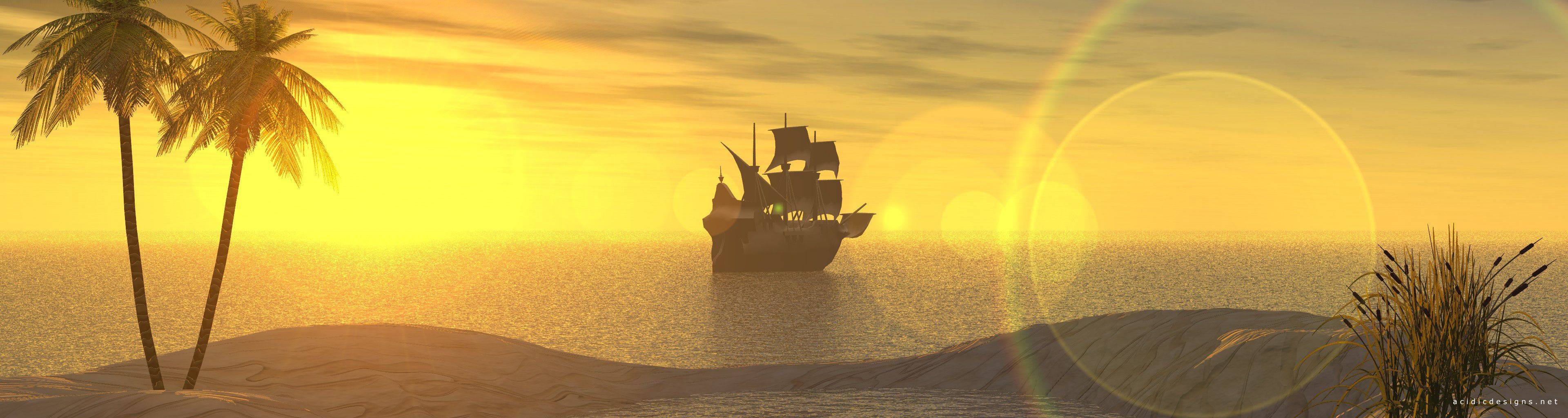
Cape Verde Islands were discovered in the beginning of 15th century and quickly colonised and turned into livestock. Although they were mostly used to get salt from natural tidal lagoons, travelers frequently used Cape Verde as a stop and water, meals and fruit replenishing point. Such useful location played bad trick as islands were attacked by many famous pirates like Francis Drake, Henry Long Ben Avery, Henry Morgan or Dampier.
Captain Kidd also sailed these waters frequently, so many treasure hunters created a theory his Skeleton Island was nothing else but Maio Island.
The Clues
Maio and Skeleton Island both show a number of mountains, running north to south and some running west to east, approximately ten mountains are shown on each respective chart, assuming a base area of approximately one square mile for each mountain, it ensures that the Skeleton island is quite large and in the same ratio as Maio. Provided the Mountains of both islands are the same shape and size.
Off the N.W. coast of Maio, on latitude 15*15** lays a large sand bank, topped with grass, it lays approximately 200 metres off a large bay, is whale shaped and stands about three/four feet above sea level, it could resemble a gigantic beached whale. It isn't shown on the sea chart of Maio, so I have drawn it in it's approximate position. Notice the words "Corral Bancks", corral meaning pen. A good place to hold slaves awaiting transportation to the Americas. They would hardly attempt to swim for freedom in shark infested waters
The bay, off which it lies, is covered with Coco Palms close to the shore, this point is also the western end of a wide valley, which narrows into a 'V' shape between the two high peaks on the eastern side of Maio . These peaks lay due north and south of one another, the southern most of these peaks, is Mount Penoso, at 1300ft. it is also the largest mountain on Maio. Rising steeply from the valley floor, its summit forms a sharp peak, which drops acutely, to a high plateau or shoulder, which runs due south to the southern end of the island, where it slopes gradually to the shore.
Laying to the south west of Penoso is another peak , some 400ft smaller, almost laying in the shadow of Penoso's western flank and having an angular appearance. Further west is a round domed peak, this in turn is a little smaller than Penoso and gives the impression of a rounded large hill. These Three mountains and their undulating flanks, make up the southern side of the valley.
Due north of Penoso is the Mountain St. Antonio, approximately 1000ft, it also rises sharply from the valley floor to its summit, which then slopes gently westward, to become the most eastward and highest of a chain of six mountains, which are saw toothed in shape and gradually reduce in height towards the western shore.
Where the eastern end of this valley drops toward the coast the valley forms into gullies, which initially drop quickly to near sea level and level off towards the shore. One of these gullies which lay on 15*15** has a man made, well , set just back from the beach, coincidentally Skeleton Islands Death Valley is punctuated with a full stop, or dot. Where as, most of the other written text on Skeleton, finishes with a Diamond Shape. Could the Dot represent the Well!?
Towards the southern end of the Island and laying west of this end of Penoso is a much smaller hill, this is also roughly rounded in shape, but much smaller than the rest. To the southwest of this hill lays the only rocky section of coastline on Maio. A small town with a tiny fort sits on this south west coast. Francis Drake was rumoured to have started this forts construction.
Due north of the town, the landscape changes to low, dry, barren foothills, ending in salt pans on the western shore, travelling north through this desert landscape we arrive back to the palms on the western shore at latitude 15*15**.
Due east of these palms at the widest part of the valley, a new grove of trees have recently been planted, they resemble fir, or pine trees, but are in fact a tall slim tree of the Acacia family.
Making enquiries, I gather that the new forest was being planted to regenerate, the original forest which disappeared some 330 years ago, due to drought and the inhabitants, who used it for ship repair and charcoal for cooking. Incidentally, the Cape Verdi are the only island group in the tropics which have tropical palms etc at its coast line, yet its mountains and high valleys on some of the islands grow fir and pine trees.!!